

North and South Table Mountain hikes offer two ways to explore the mesa landscape above Golden, Colorado. North Table Mountain Park has an extensive trail network and climbing areas, while South Table Mountain has mesa-top trails and panoramic views. Both mountains formed from lava flows about 60 million years ago.
- Location: Both Table Mountain areas are near Golden.
- North Table trails: More than 15 miles of trails at North Table Mountain Park.
- South Table option: The T. rex Tooth Trail is 1.5 miles.
- South Table loop: Connecting T. rex Tooth with three other trails creates a 3-mile loop opportunity.
Both parks are Golden outings from a bed and breakfast in Golden.
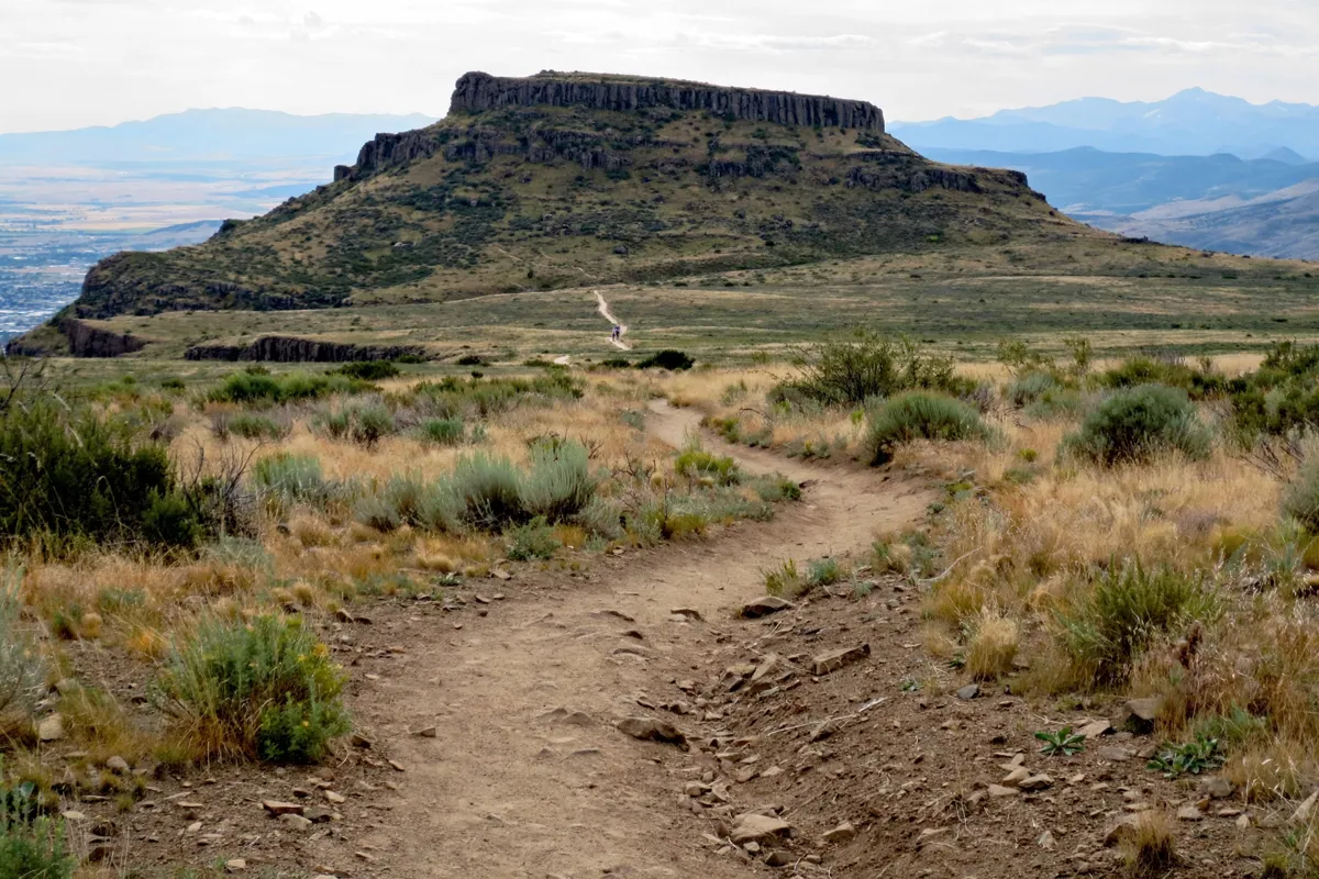
North Table Mountain trail options
North Table Mountain Park pairs a large trail network with climbing areas, and you can choose access based on which part of the park you want to reach. Jefferson County Open Space manages the park.
For the west side, the North Table Mountain West Trailhead parking lot is north of Golden on State Highway 93, just north of Pine Ridge Road. Six spaces there are dedicated to horse trailers. When leaving the lot, you cannot turn left onto Highway 93.
To access the east-side trail to North Table Loop, cross Easley Road from the City of Golden Tony Grampsas Memorial Sports Complex at 4471 Salvia Street. Conditions can differ by side: the east side may have partial mud closures, so check Jefferson County Open Space alerts and closures before setting out.
Another access point leads to Golden Cliffs Preserve. Reach its parking lot from Peery Drive via Peery Parkway; the route goes through a residential neighborhood and a gate. The trail has grades exceeding 25 percent, and bikes are not allowed. Along the Golden Cliffs, hikers must yield to climbers and climbing activity.
Rim Rock Trail has a seasonal closure to protect ground-nesting birds and nesting birds of prey. Its opening date can change with wildlife activity, so check the official site before you go.
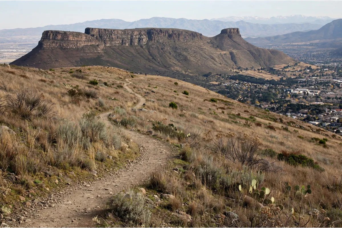
South Table Mountain trail options
South Table Mountain Park offers trails for hiking, running and riding, with panoramic views from the mesa top. Its T. rex Tooth Trail is a 1.5-mile soft-surface multi-use trail.
For a longer outing, connect T. rex Tooth with Fossil Trail, Old Quarry Trail and Basalt Cap Loop to make a 3-mile loop opportunity. The park map distinguishes multi-use trails from hike-only routes and also marks non-Jefferson County Open Space trails, private property, areas closed to visitors, parking and scenic viewpoints.
The park’s main listed access addresses are 16741 Golden Hills Road, 1219 Kilmer Street and 17701 Rimrock Drive in Golden. Parking is limited at some access points; verify availability and any permit requirements with Jefferson County Open Space before visiting.
Stay on designated trails and keep off private property, including Castle Rock. The Colorado Amphitheater beside T. rex Tooth Trail was built in 1935 by the Works Progress Administration for Camp George West of the Colorado National Guard. It sits on non-public Department of Energy property, so visitors are asked to remain on designated trails.
How do North and South Table Mountain hikes compare?
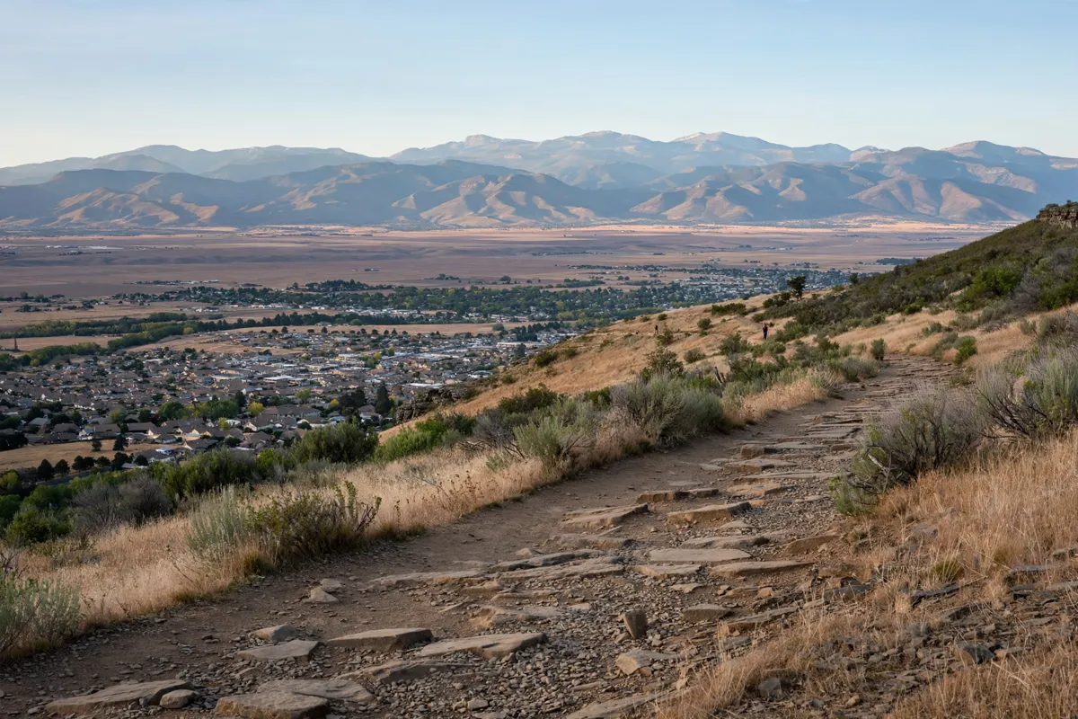
North Table Mountain is the larger trail-network choice, while South Table offers a clearly described 1.5-mile trail and a possible 3-mile loop. Both let you hike across the distinctive mesa landscape above Golden.
North Table Mountain Park has more than 15 miles of trails and rock-climbing areas. Its routes include access to Golden Cliffs, where the steep trail and climbing activity call for extra attention to footing and trail etiquette.
At South Table, T. rex Tooth is a soft-surface, multi-use trail. Connecting it with Fossil Trail, Old Quarry Trail and Basalt Cap Loop makes a 3-mile loop opportunity; check the park map to distinguish allowed uses and areas that are closed or private.
For a Golden outing that combines the mountains with time in town, the one-day Golden itinerary offers another way to shape your day.
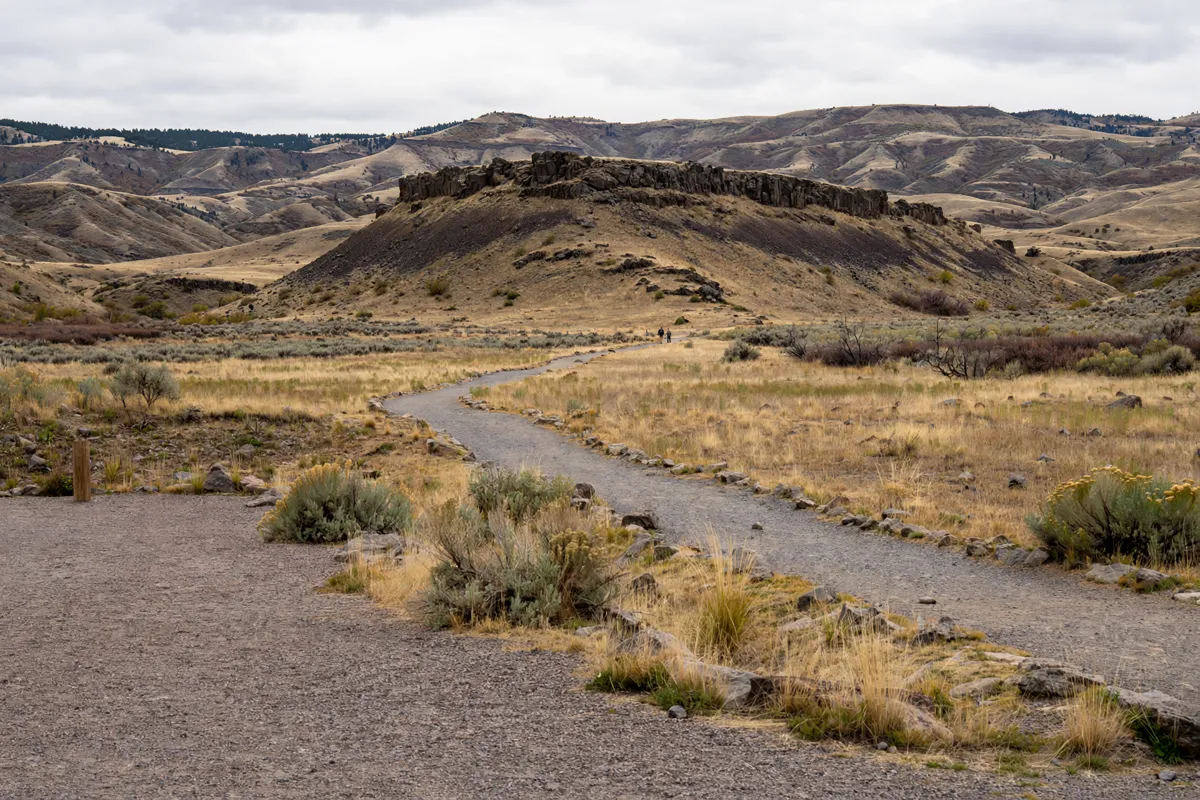
Parking, conditions and trail etiquette
Check trail access and parking details before choosing a starting point, then follow posted restrictions and designated routes. Conditions and closures can affect which trails are available.
At North Table, consult Jefferson County Open Space alerts for possible east-side mud closures and check the current Rim Rock Trail status. At South Table, confirm parking availability and any permit requirements with the managing agency, especially at access points with limited parking.
Keep to designated trails at South Table and avoid private property, including Castle Rock. At Golden Cliffs, yield to climbers and stay off the trail if you are riding a bike; bikes are not allowed on that trail.
FAQs
Which mountain has more trails?
North Table Mountain Park has more than 15 miles of trails. South Table Mountain has several named routes, including T. rex Tooth, Fossil, Old Quarry and Basalt Cap.
Can you make a loop hike on South Table Mountain?
Yes. Connecting T. rex Tooth Trail with Fossil Trail, Old Quarry Trail and Basalt Cap Loop creates a 3-mile loop opportunity.
Are bikes allowed on the Golden Cliffs trail?
No. Bikes are not allowed on the trail to Golden Cliffs Preserve, and hikers must yield to climbers along the cliffs.
What else can you fit into a Golden visit?
The Morrison and Lariat Loop scenic trip is another outing from Golden.